7 great camp options to choose from for kids aged 6-12. Click for details…
Candidate registration is open. To learn more about candidate requirements or voter eligibility Click Here
From themed summer camps to FREE Rec Fun Days, there's something for every young adventurer. Spots are filling fast - register today!


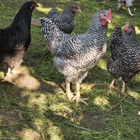
 Agriculture
 Featured
Labour, Skilled Trades, Entry-Level
Full-time, Labour
Full-time, Seasonal, Entry-Level, Labour
Full-time, Permanent, Term, Retail
Featured
Labour, Skilled Trades, Entry-Level
Full-time, Labour
Full-time, Seasonal, Entry-Level, Labour
Full-time, Permanent, Term, Retail


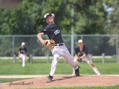


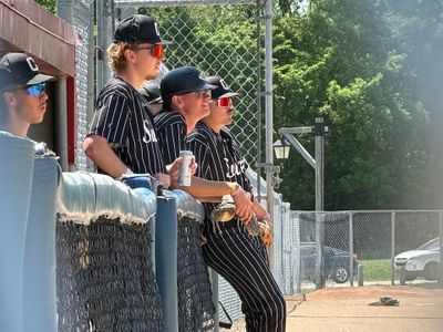
 Sat, Jul 25, 7:00 PM