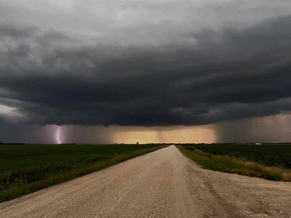
A tornado watch has been issued for parts of southeastern Manitoba as forecasters warn a powerful storm system could bring severe thunderstorms, tornadoes, large hail and damaging winds to the region.
Scott Kehler with Weatherlogics says a strong system moving north from the United States is expected to trigger severe weather development across southern Manitoba beginning Tuesday afternoon.
An incredibly strong push of moisture (i.e. more humid air) is about to enter southern Manitoba from ND/MN. As this moisture arrives the potential for severe weather will begin. (See dewpoints in green of 20-23 C just south of the border). #mbstorm pic.twitter.com/Gj1zuwqIS3
— Scott Kehler 🇨🇦 (@scottdkehler) June 9, 2026
“As that happens, we could see very strong thunderstorms form, which could produce tornadoes and large hail, along with damaging winds,” Kehler says.
Later today, Kehler expects individual storms to merge into a larger system that may move through southeastern Manitoba.
“All these storms are going to start combining together and we’ll get a very large line of thunderstorms that will sweep across southern Manitoba, including the southeast, potentially producing damaging winds through the evening and overnight hours.”
Today is the most dangerous severe weather setup I have seen in southern Manitoba in a long time. Storms could produce tornadoes, destructive winds, and very large hail. If thunderstorms approach, take shelter immediately. #mbstorm
— Scott Kehler 🇨🇦 (@scottdkehler) June 9, 2026
While Tuesday is expected to bring the most widespread threat, Kehler says the risk of severe weather is expected to continue Wednesday, though conditions may not be as significant.
“There is a risk of severe weather again tomorrow in the southeast,” he says.
“Probably won’t be quite as widespread as today, but we could again see some severe thunderstorms tomorrow as the system lasts one final day and then begins to clear out after that,” says Kehler.
Environment officials are encouraging residents to monitor forecasts and weather alerts throughout the day as conditions may change quickly.


 Tue, Jun 9, 5:30 PM
 Professionals, Full-time, Transport
 Featured